


Voting District 50211, Placer County, California
About
Outline

Summary
| Unique Area Identifier | 536635 |
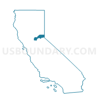
| Name | Voting District 50211 |
| County | Placer County |
| State | California |
| Area (square miles) | 0.34 |
| Land Area (square miles) | 0.34 |
| Water Area (square miles) | 0.00 |
| % of Land Area | 100.00 |
| % of Water Area | 0.00 |
| Latitude of the Internal Point | 38.95454860 |
| Longtitude of the Internal Point | -121.03195780 |
Maps


Graphs
Select a template below for downloading or customizing gragh for Voting District 50211, Placer County, California


Neighbors
Neighoring Voting District (by Name) Neighboring Voting District on the Map
- Voting District 50125, Placer County, CA
- Voting District 50200, Placer County, CA
- Voting District 50205, Placer County, CA
- Voting District 50210, Placer County, CA
- Voting District 50305, Placer County, CA
- Voting District 50310, Placer County, CA
Top 10 Neighboring County Subdivision (by Population) Neighboring County Subdivision on the Map
Top 10 Neighboring Elementary School District (by Population) Neighboring Elementary School District on the Map
- Placer Hills Union Elementary School District, CA (13,646)
- Ackerman Elementary School District, CA (2,538)